Research report: The Drowned Land of Saeftinghe
For Veldwerk, artist duo Daems van Remoortere and design collective Fallow are therefore investigating a crucial link in our relationship with this changing landscape: saline agriculture. But what exactly does this entail? Which crops can and cannot be grown? What are the possibilities for the future? They are framing this research into salt-loving plants in a broader context, informed by interviews with farmers, residents and botanists. Ultimately, this will take shape in a saline garden, a section of the landscape that, like an archaeological site, allows history, the future and the present to merge.
The Drowned Land of Saeftinghe is a nature reserve located on the border between the Netherlands and Belgium. Today, it is one of the largest brackish water salt marshes in Western Europe, a historical landscape that has undergone various transformations over the centuries. From a natural tidal area to a reclaimed landscape with villages and a castle, and back to a natural estuary landscape.
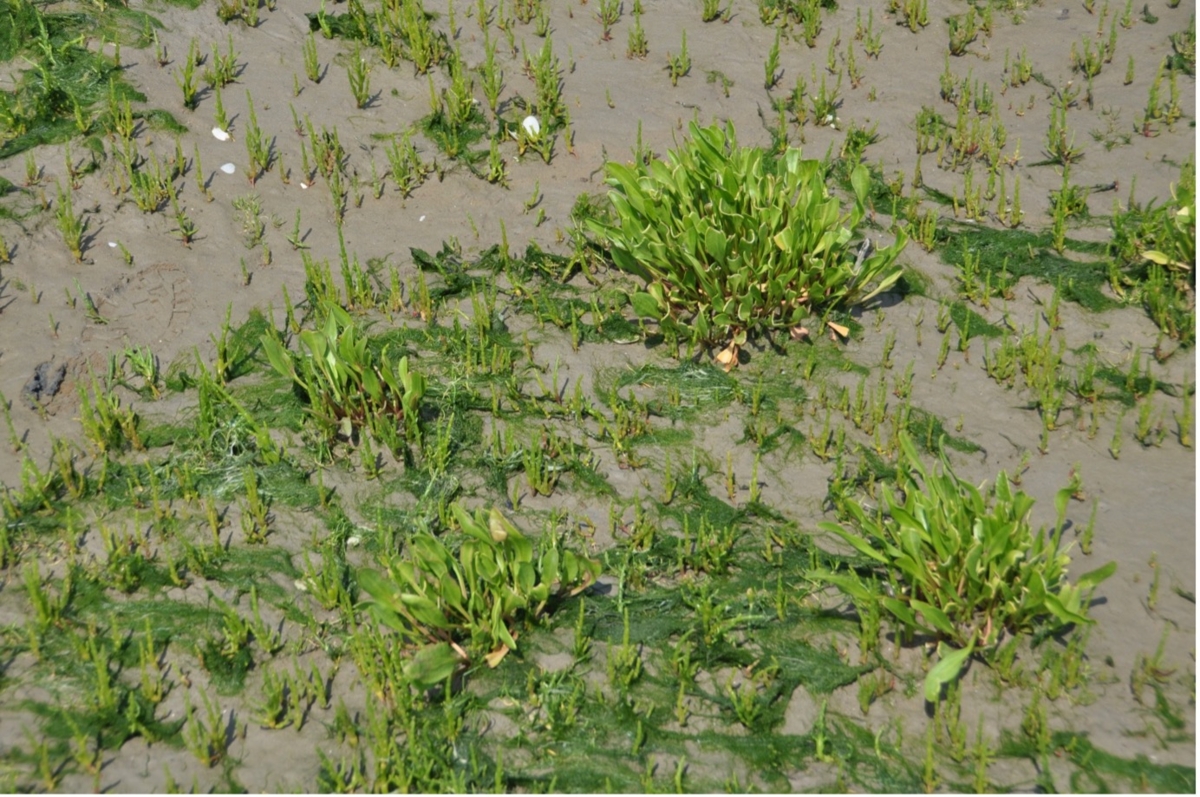
Saeftinghe is a window into time and provides a picture of what Flanders, and by extension the Low Countries, looked like before the land was reclaimed. Characterised by the nature of the tides, a constantly changing, dynamic landscape takes shape. These are the ideal conditions in which salt-tolerant plants thrive.
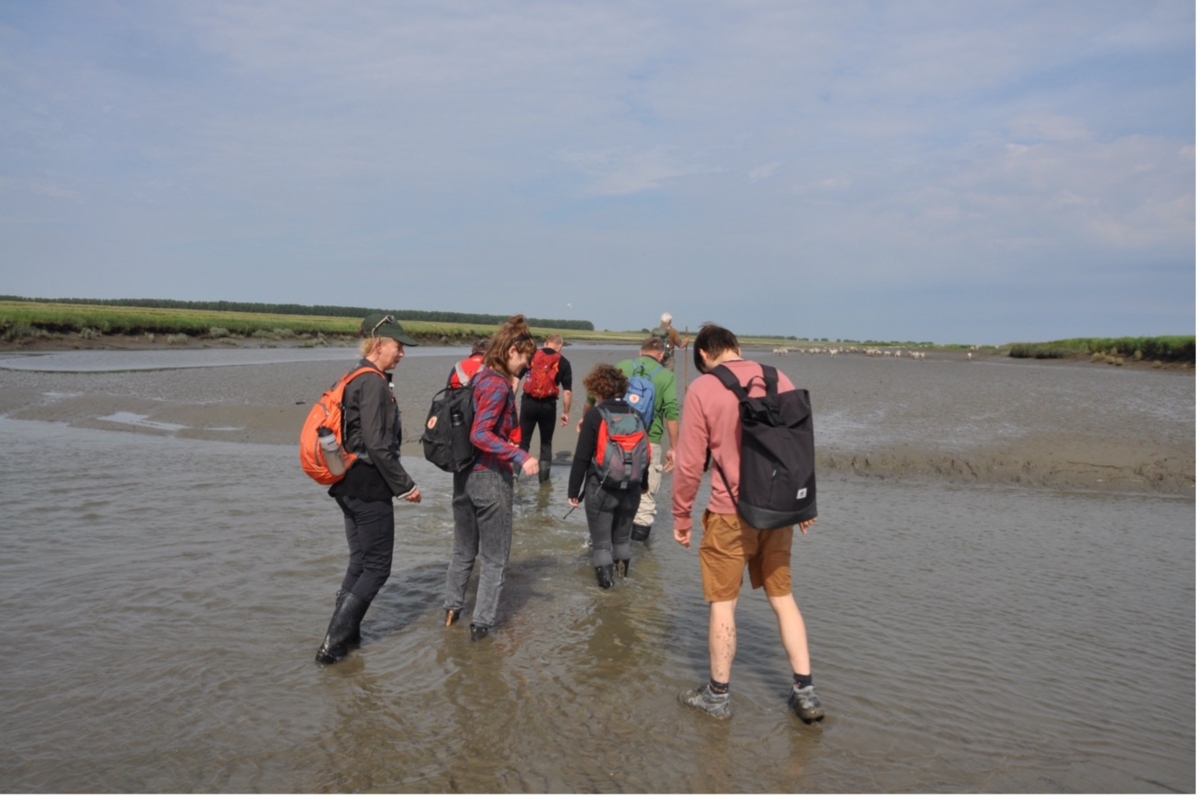
The treacherous nature of the place, with its deep channels, quicksand, sudden rising water, etc., has already cost hundreds of people their lives. As part of our fieldwork, we explored the area with a guide during a 6-hour walking tour.
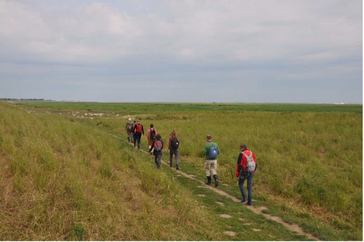
Start of the walk next to the dyke
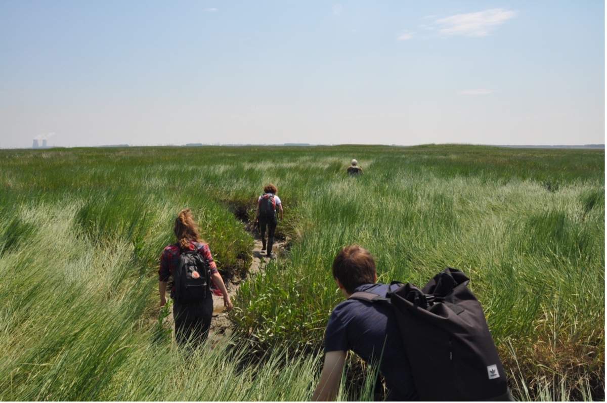
walk through reed beds Drowned Land of Saeftinghe
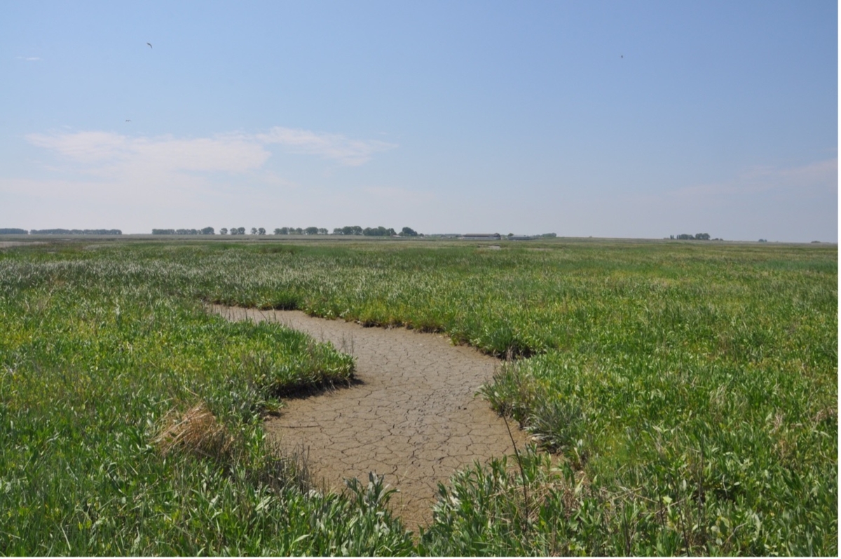
A temporarily dry channel surrounded by sea lavender (Aster maritimus)
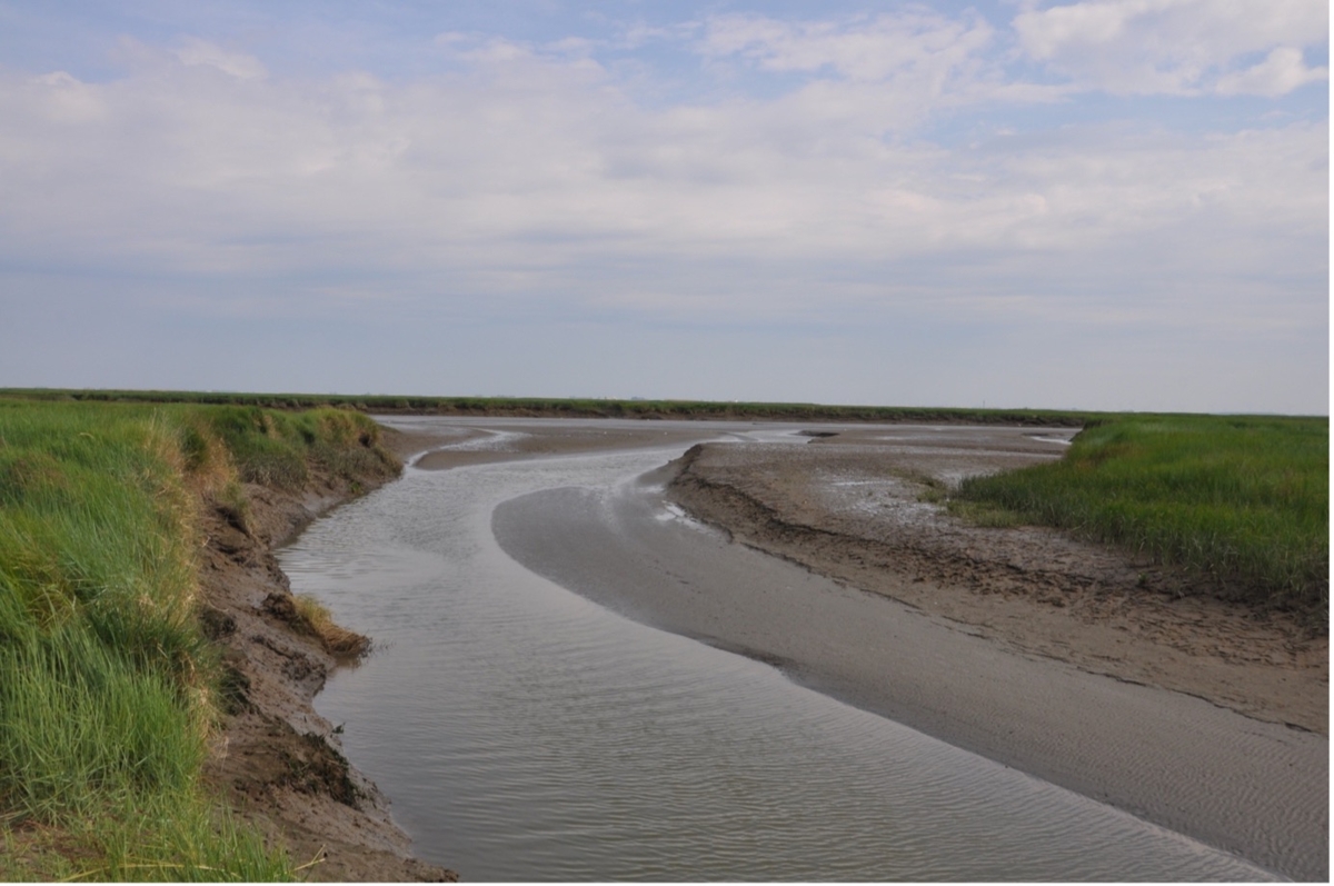
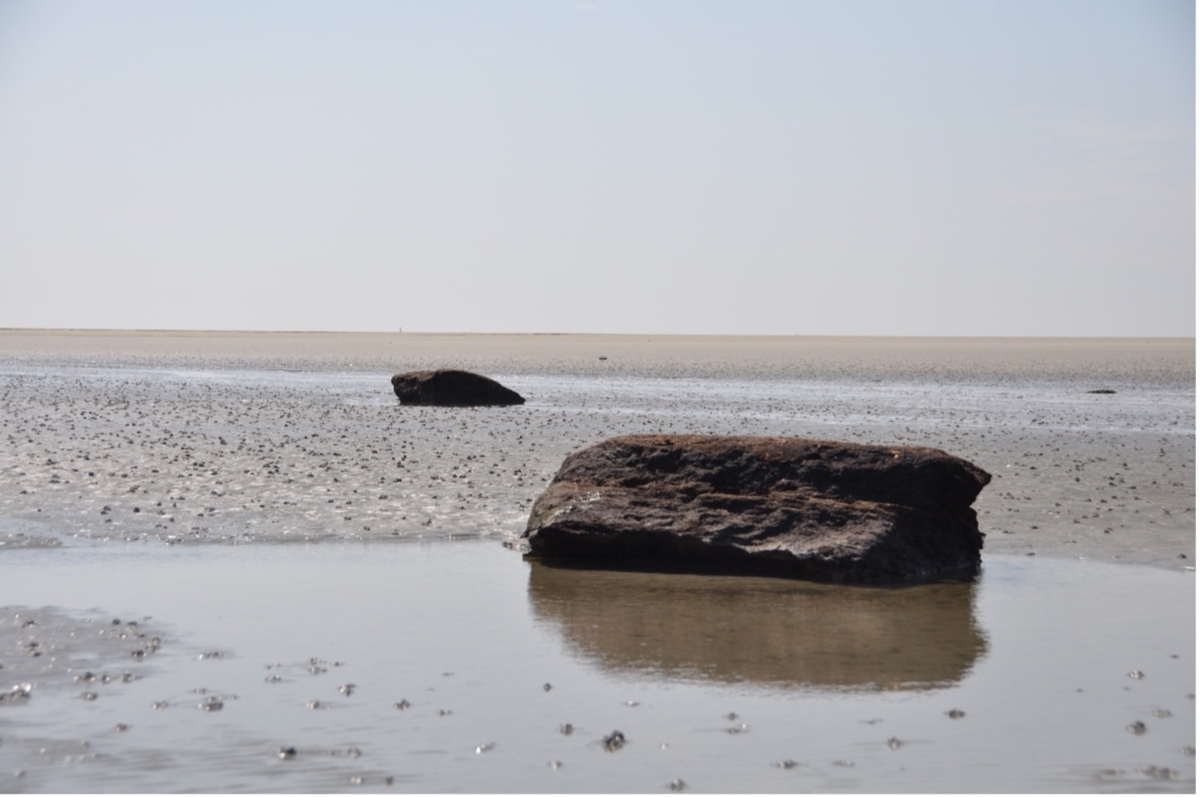
Gully 'The ice cellar'
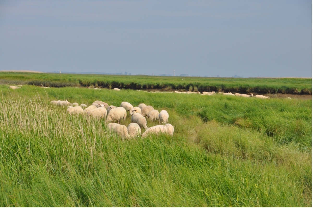
A group of sheep have adapted to the changing nature of the place and thrive here.
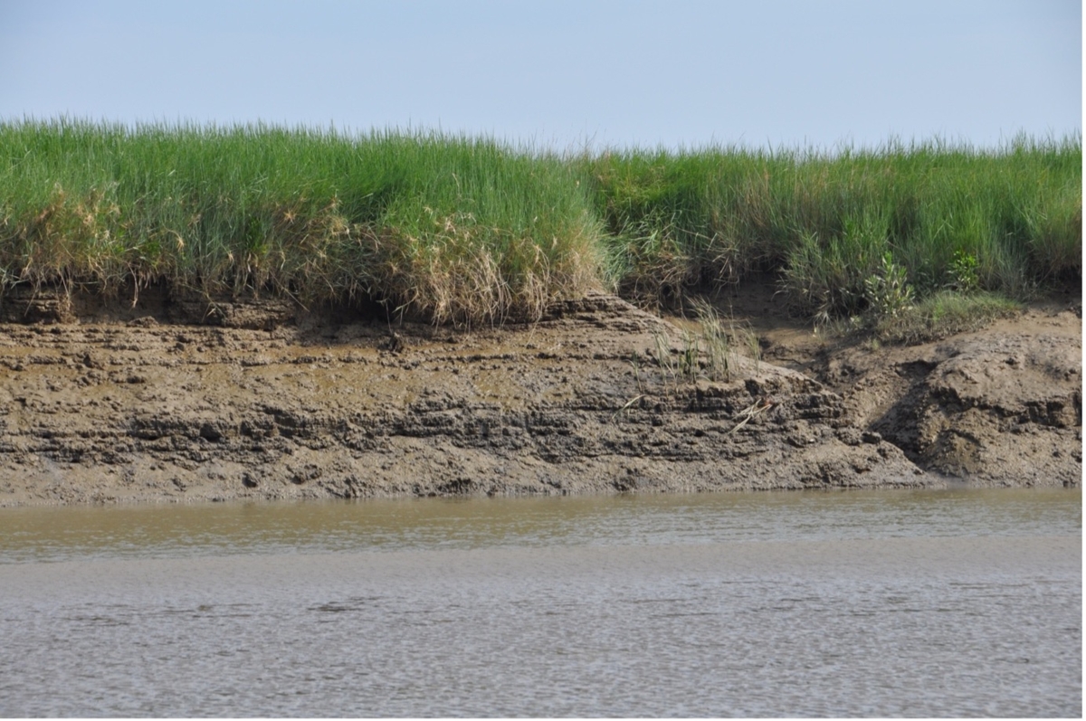
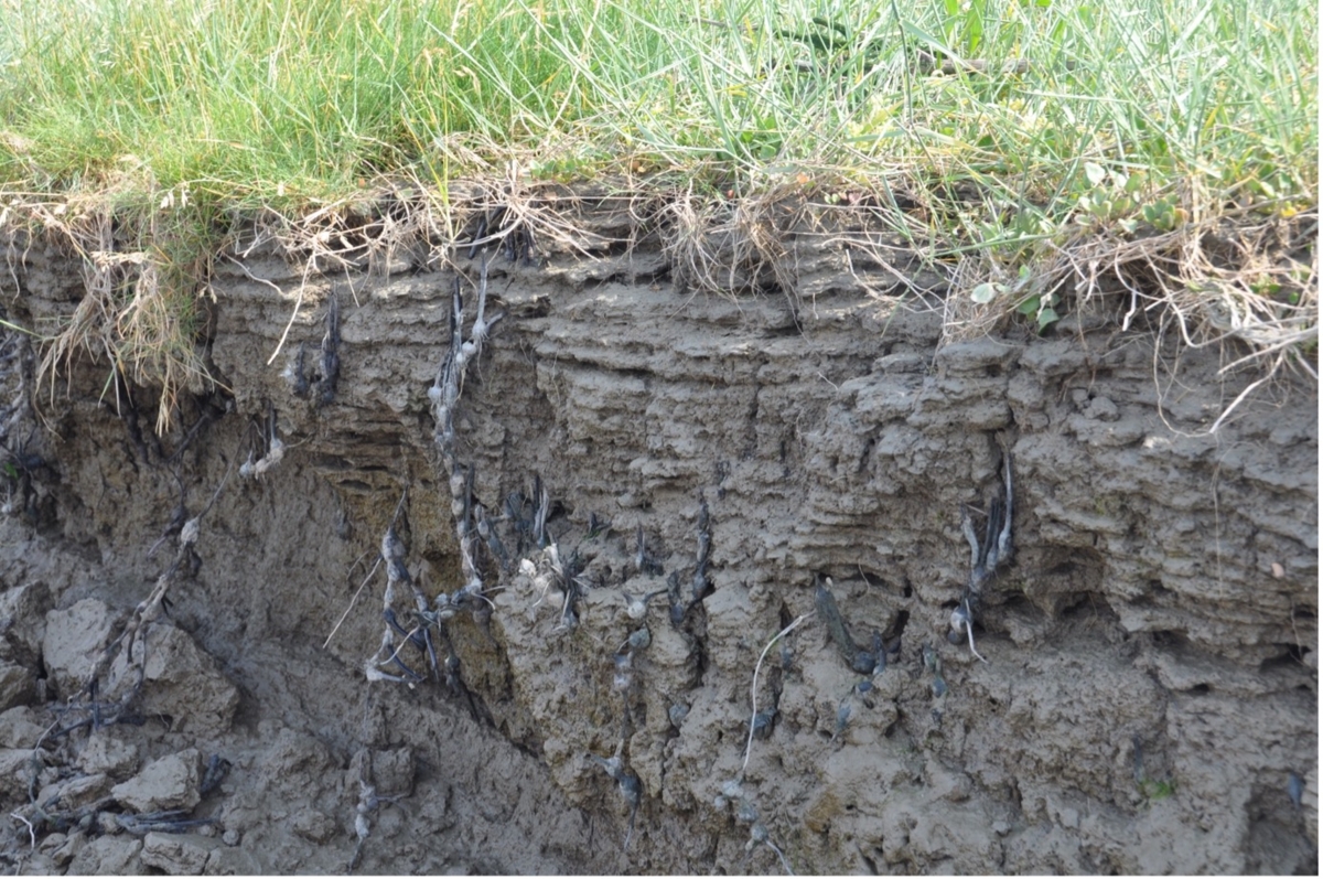
The layers in the ground beautifully reflect the different sedimentary layers.
Wet feet when crossing a gully
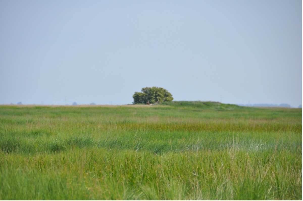
The only tree in the entire area. A large elderberry bush growing at the highest (and driest) point of the site.
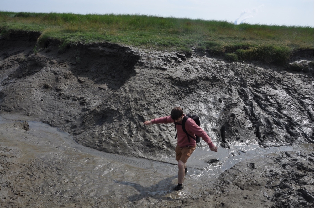
Crossing a gully
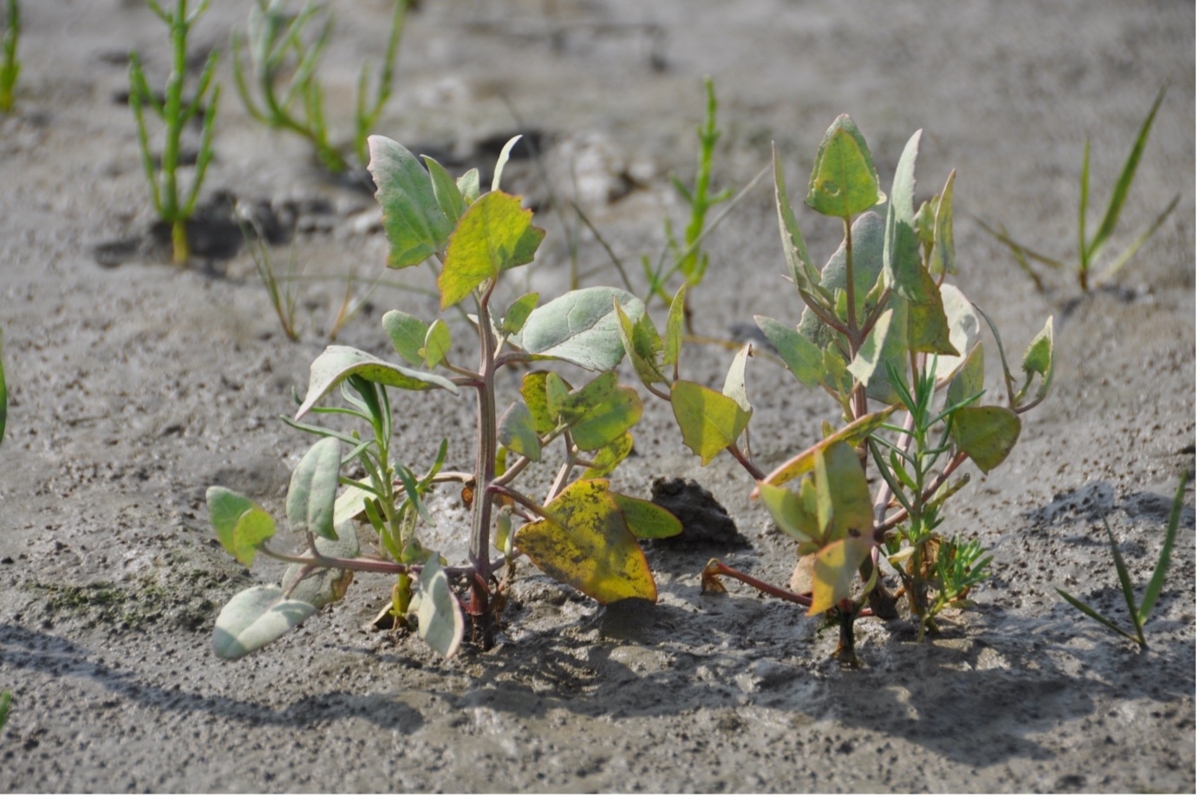
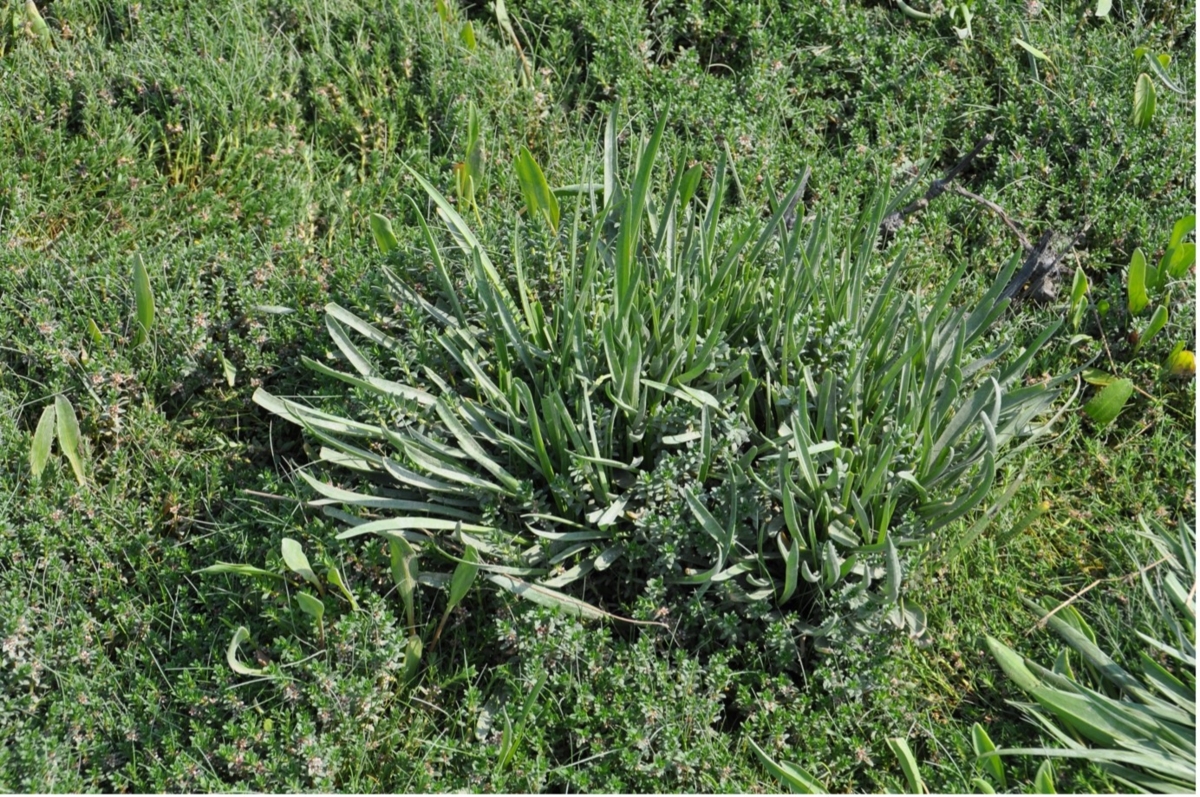
Sea Purslane/ Atriplex portulacoides
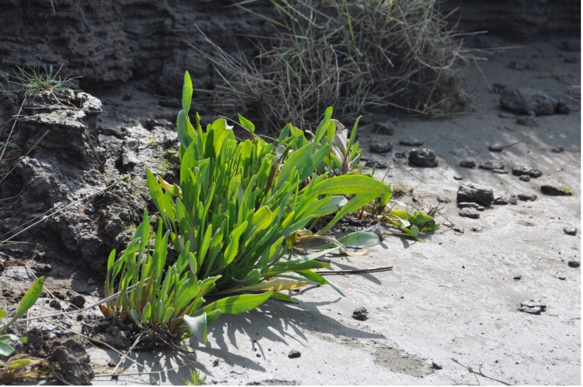
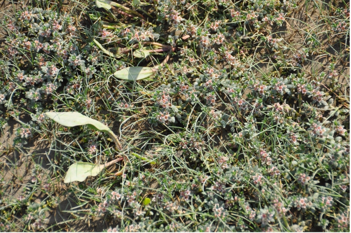
Sea aster / Limonium vulgare
Deposition of soil layers, with some tubers of the sea club rush (Scirpus maritimus). Geese are fond of these edible roots.

Geese love these edible roots.
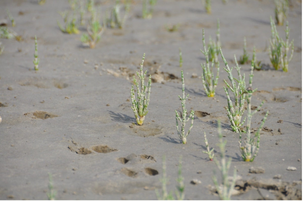
Figure 1 Samphire / Salicornia
Milkwort / milkwort glaux / Glaux maritima
Sea lavender and milkwort
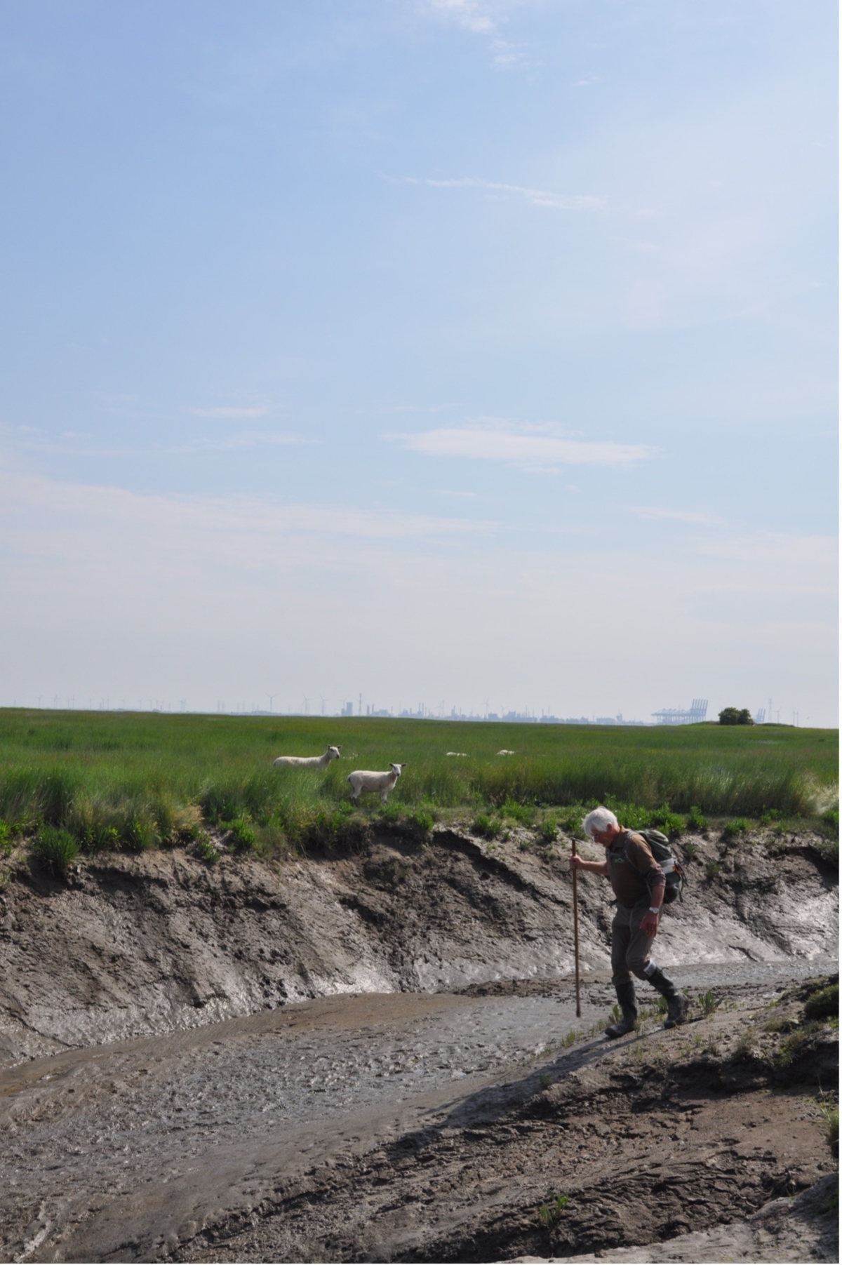
Crossing a gully following instructions from Joost, the guide

Dynamic landscape shaped by the ebb and flow of seawater

Wet feet
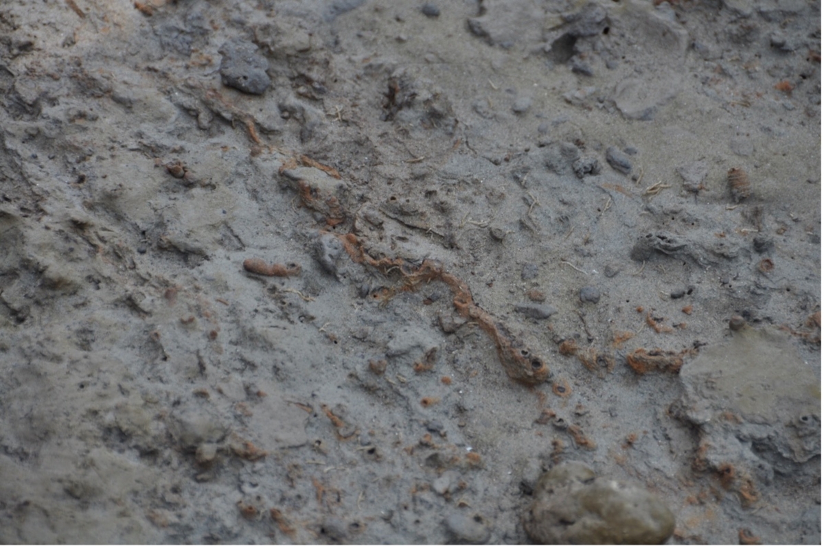
Small deposits of iron

Small deposits of iron
Sea lavender and sea lettuce
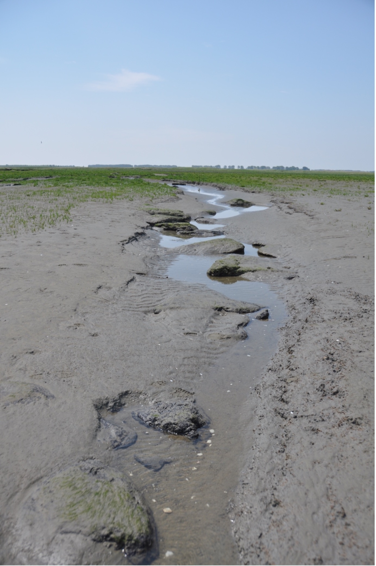
Dynamics of the tidal landscape
Large clumps of peat. In the past, when there were villages here, peat cutting was one of the main economic activities in this area.
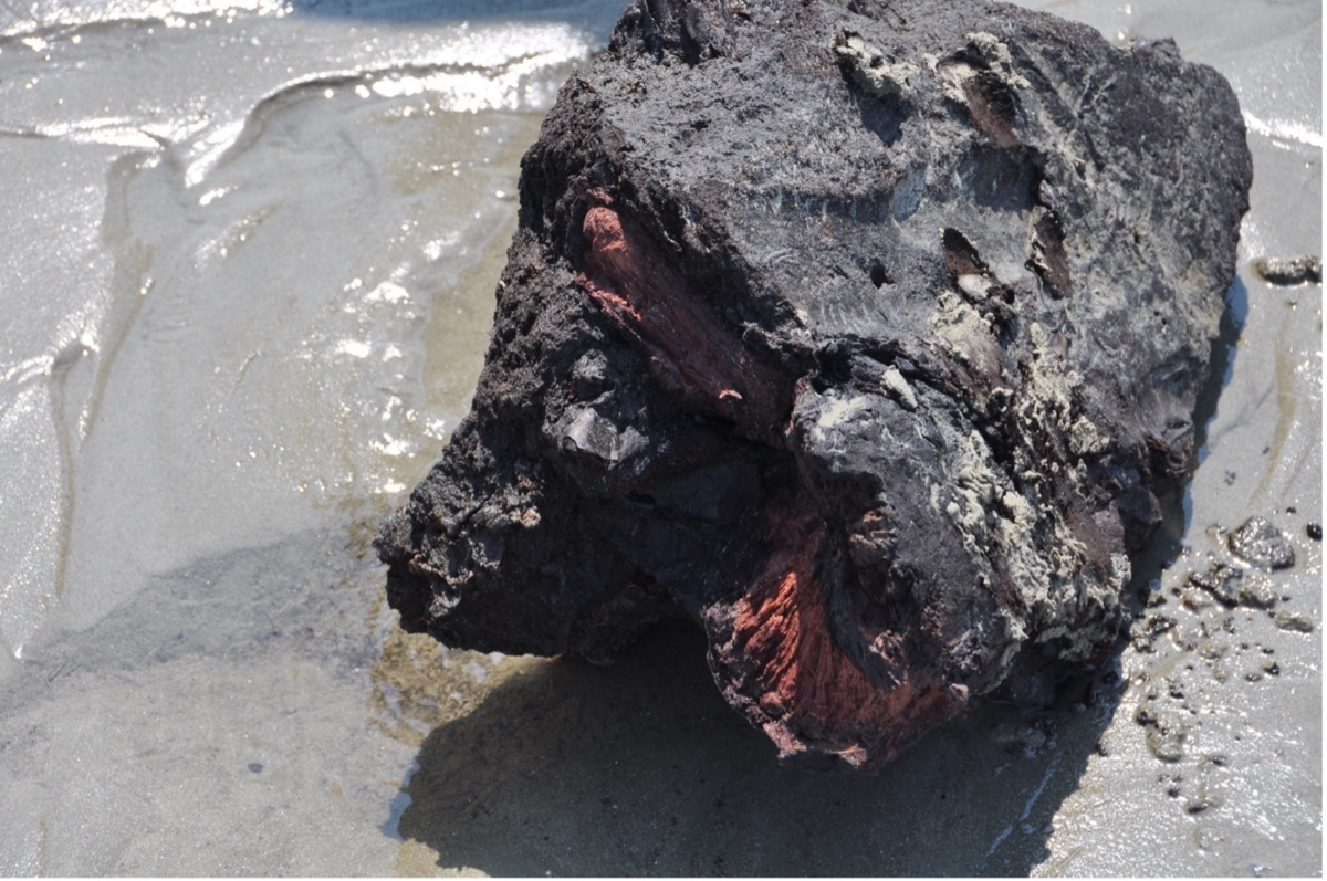
The peat was saltier than in other places due to its proximity to the sea. 'Moernering' was therefore an additional activity that was mainly undertaken by widows. The salt is extracted from the peat and used to preserve food.